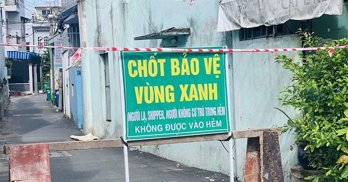
Currently, localities are implementing zoning according to safe and unsafe levels on the Covid-19 map based on different distribution colors and representations. Through this map, people will understand how the epidemic situation is progressing, where are the safe areas in addition to viewing other data maps. Here’s how to view the map of the Covid-19 blue and red zones in Ho Chi Minh City. Ho Chi Minh.
Instructions for viewing the map of the blue and red areas of Covid-19
Step 1:
First of all, visit the link below to see the map of the epidemic area in Ho Chi Minh City.
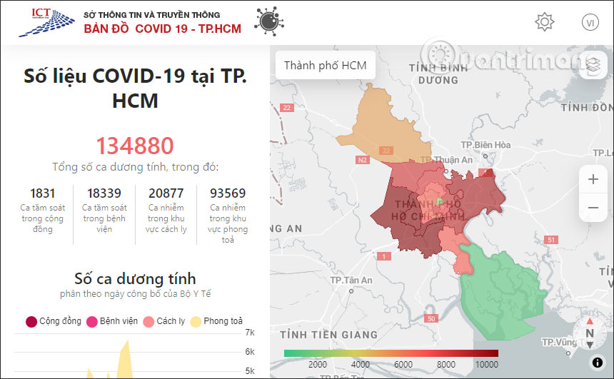
You will now see the map showing different colors. Each color represents the epidemic situation in that area.
- Green zones: Are safe areas, no epidemic.
- Yellow zone: Is a risk area, an area with a high potential for Covid-19 infection. Including factories, production facilities, agencies, units, markets, supermarkets, hospitals, medical examination and treatment facilities…
- Orange area: A high-risk area.
- Red zone: Is the blockade or isolation area.
Step 2:
You can click on the map color area to see the specific address as well as detailed information about the number of patients in that area. This time in right side of the interface will display more detailed information about cases in that area.
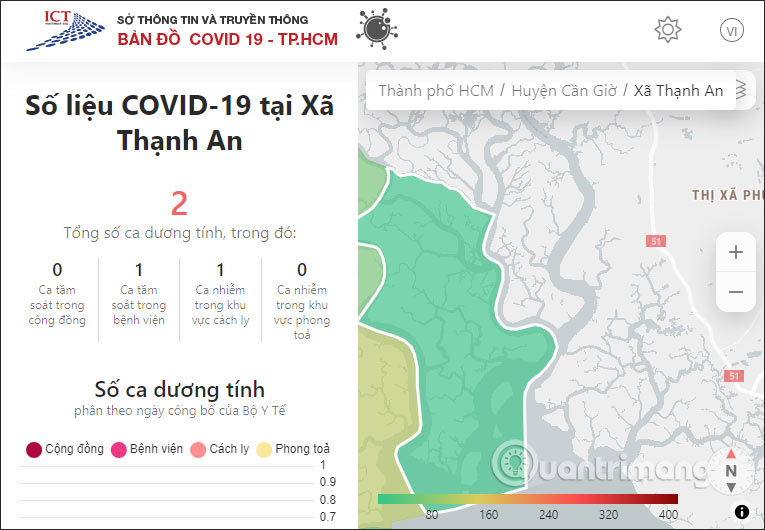
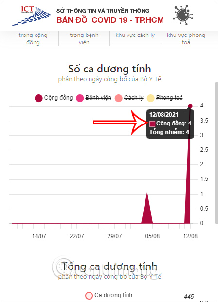
Scroll down below is overview chart of the situation positive cases by the day announced by the Ministry of Health.
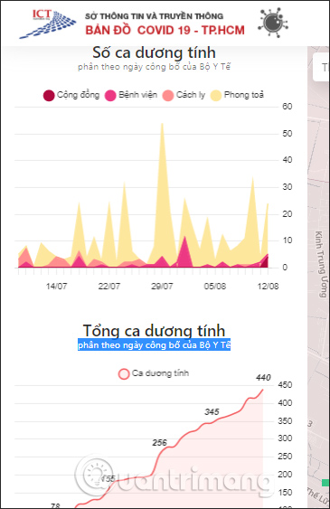
Ever colored dot representative of which patient groups belong to any region. If you click in that area, it will display a dash button to not show the data on the map.
Source link: How to view the map of the blue zone, the red zone of Covid-19
– https://techtipsnreview.com/